Geoplan 3D performs several different special assignments. We have the equipment to do most of the measurement work. Measurement of tracks and trajectory as well as seabed mapping are some of the special measurements services we perform.
Precision measurement of railway:
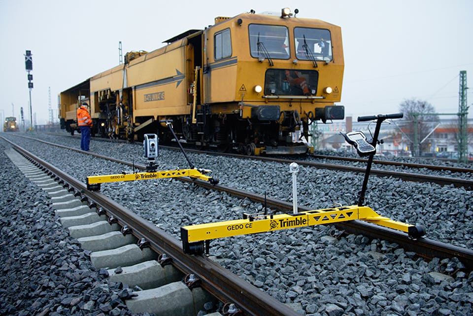
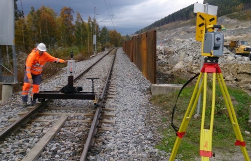
We have advanced equipment for recording track geometry at railroad projects. With our Trimble Gedo 2.0 CE system, we have the ideal technique for a railway project.
With this system, you can record/compare the geometry of the track (both rail strings and track-middle), track width and height to the theoretical line, and Geometric control in "field". We also scan the trace geometry and run analyzes against conflict points.
Seabed mapping
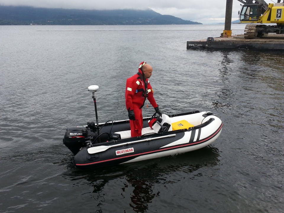
We perform sonar measurements for port areas, near coasts, lakes, and rivers.
The sonar is positioned with GNSS (GPS) or totalstation.
The result needs little processing and can be retrieved directly from the system as a point cloud. The point cloud triangulates to a surface model that can be co-generated to the desired equidistance.